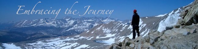
Our goal was Pinchot Pass (12,130 ft). I remembered this pass as being a fairly gradual one, and it was; but the approach was covered in patches of snow and so the climb took a bit longer due to the navigation. Eventually we were on top and we took a break on top to refuel and rest for the journey down (and then back up).
Normally we drop down 3-4000 ft after a pass to cross a creek (think small river), but we only dropped down 2000 this time, so the climb up to get ourselves ready for Mather Pass the next day had the potential to be an easy one...except that we had to ford a ton of creeks.
Some had logs or rocks to help us across. Others we had to walk through frigid water, usually no deeper than our knees (although my shorts did get wet in one ford).
There was one ford that was more like a raging river when we walked up to it, but luckily it forked into three branches that made it easier (not less scary) to cross. Luckily it looked worse than it was, and we made it to camp safe and sound, albeit with wet feet.
Total Miles:814.5
Miles Today:17.1
Camp 48:Below Mather
------------------------------
Have a spare PocketMail laying around, sell it back to us and help those in need.

1 comment:
You guys are doing great at describing the TRAIL! more than any other journal I've read your journal prepares a hiker for what theyll experience on the trail..thanks!
Post a Comment