We were hoping for some clear skies in the morning, but instead we woke up in a cloud again. But it wasn't raining, and all we could do was hope for clear skies later in the day.
Today as the day od decision. We had to decide if we were going to take the original PCT route around Glacier Peak or if we were going to take the established detour. The big to-do about this section of trail, and the reason for a reroute, is that in November of 2003, big rains caused floods that washed out a bunch of bridges over the creeks on the PCT and even washed away a few small sections of trail. For the past few years all hikers either took a road walk around the area (skipping an incredibly beautiful section of trail) or took the reroute, which was rumored to be steep, less-maintained trail with a few hairy fords tossed in for good measure. A week or two ago we started hearing rumors that hikers were taking the oroginal route; they had even started rebuilding the bridges over the creeks, and the ones that weren't built yet either had logs we could cross on or were easy to ford. The Dinsmore's confirmed that the oroginal route was the way to go, so when we hit Indian!
Pass, the point of decision, we headed down the original route.
About the same time, the sun came out! *yay!* so we spent some time drying gear out and celebrating not getting into a damp sleeping bag later that night.
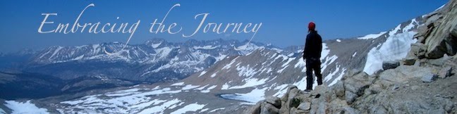
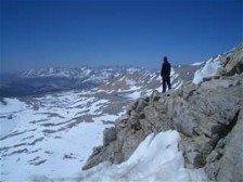
We climbed up to White Pass and then up to Red Pass, and since the sun was out, we had some stunning views of the surroundng peaks and valleys. We were tickled by the signs we passed that politely asked us to "Please Camp Elsewhere," instead of the usual "No Camping" or "Closed for Restoration."
Today was also the day for bear sightings. In the course of our day we ended up seeing a total of 4 bears! They were all from a distance, thank goodness, and they wanted nothing to do with humans anyway, since it is bear hunting season up here now.
We descened from Red Pass for 3000 ft, and made camp on the sandy shores of Kennedy Creek. The night before had been at a chilly 5000 ft, and we were thankful to be sleeping at a touch warmer elevation of 4000ish ft. Warm and dry- the two key words of Washington State :).
Total Miles:2523.2
Miles Today:24.3
Camp 127:Kennedy Creek Beach
------------------------------
Have a spare PocketMail laying around, sell it back to us and help those in need.

No comments:
Post a Comment